Ahead of the 2024 Southwest fire season, this Wildfire Wednesday revisits information from Wildfire Wednesday #111 on red flag warnings, as well as information on smoke management, the 2024 fire season outlook, home hazard assessments, and a deep dive into homeowners insurance across the country.
Happy Wednesday, FAC NM readers!
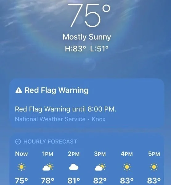
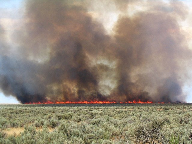
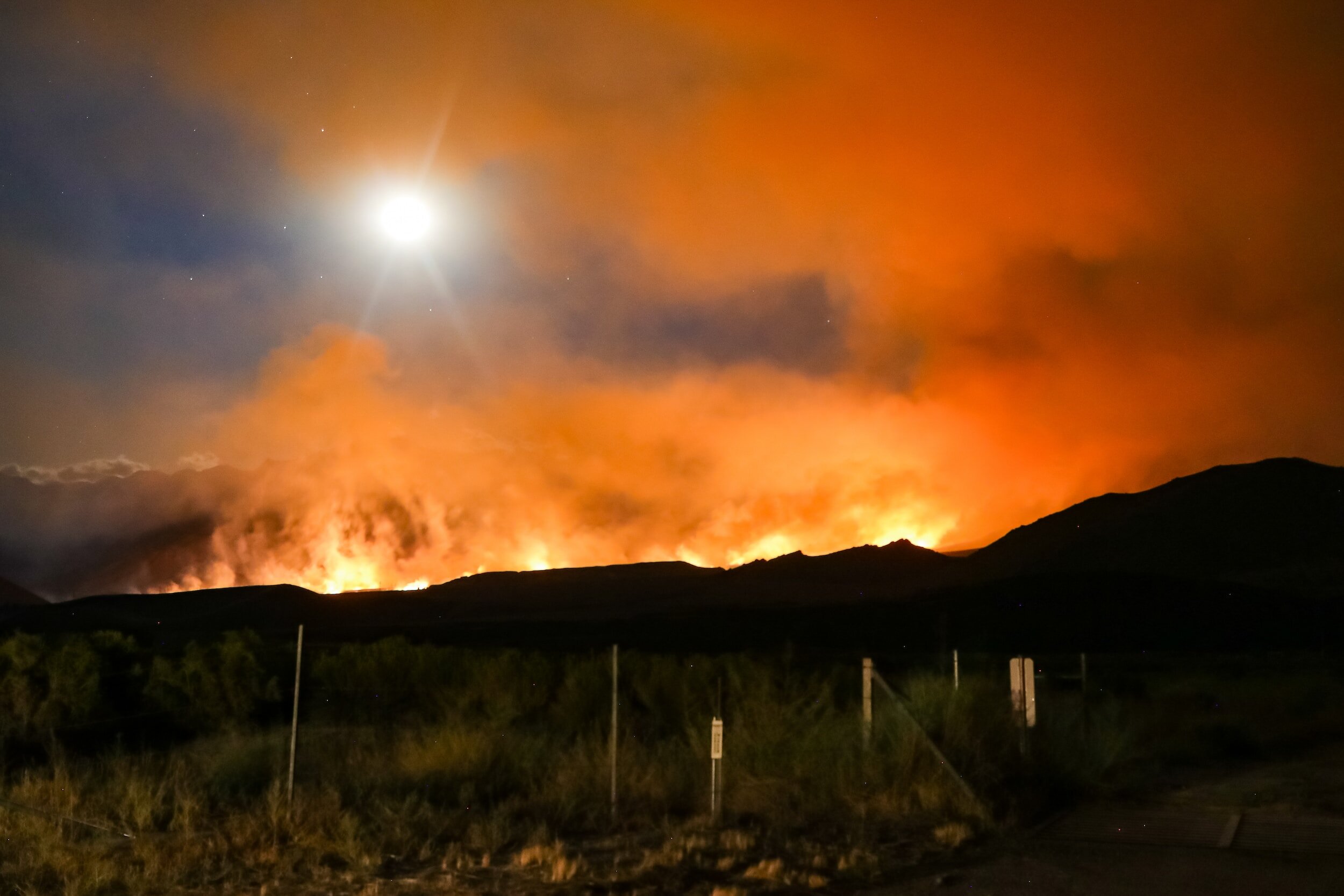
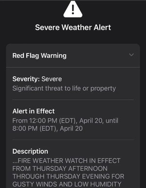
Picture this: you wake up to the early morning light streaming in your window and turn your head to greet the day. You notice tree limbs dancing in the infamous New Mexico spring winds, see that the leaves on the bushes are looking pretty piqued, and remember that it has been a while since it’s rained. Pulling out your smartphone, you open the weather app to check the forecast. There, at the top of the application, is an alert which reads “Red Flag Warning” from the National Weather Service. What does that mean?
This week’s Wildfire Wednesday will break down alerts and watch-outs that come with the summer weather, including what they mean for fire risk and how to prepare for Red Flag days.
Today’s Wildfire Wednesday features:
Resources for Smoke Management
Information on air quality, HEPA air filters, Smoke 101 research, and the 2024 State of the Air report
Additional Resources, including:
An upcoming webinar on assessing your home or business’s risk to wildfire
News about nationwide trends in homeowners’ insurance coverage in the face of increasing natural disasters
Be well,
Rachel
Red Flag Warnings
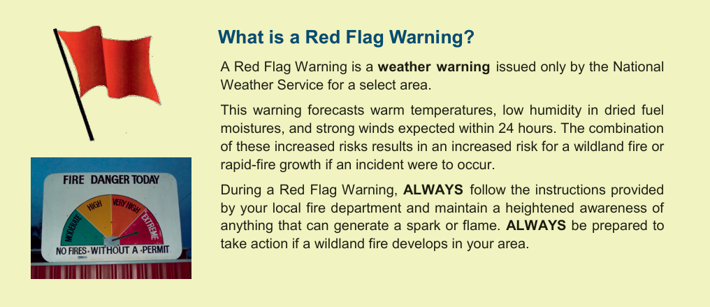
The basics: what is a Red Flag Warning?
The origin of the name, Red Flag Warning, is a literal one, according to Tamara Wall of the Desert Research Institute: “If there was… high fire danger, local fire stations would go and run a red flag up the flagpole. It was a very visual, kind of pre-mass communications way to signal to people in the area that it was a high-danger day” (NPR, 4/14/23).
From the Ready! Set! Go! 4-page guide on the basics of Red Flag Warnings, how to respond, Red Flag safety tips, and more.
According to the National Weather Service (NWS), which issues these alerts in conjunction with local and state agencies, a Red Flag Warning is part of a weather forecast which indicates a local increase in fire danger risk in the next 12 to 24 hours. This increased risk is due to a combination of critical fuel conditions and critical weather conditions (warm temperatures, very low humidities, and strong winds). This means that if a wildfire starts, the conditions are right for it to spread rapidly and be difficult to contain. Red Flag Warnings differ in timing from a fire weather watch, which is a longer-term forecast that warns of the possible development of Red Flag conditions in the next 72 hours.
Indicators of fire weather
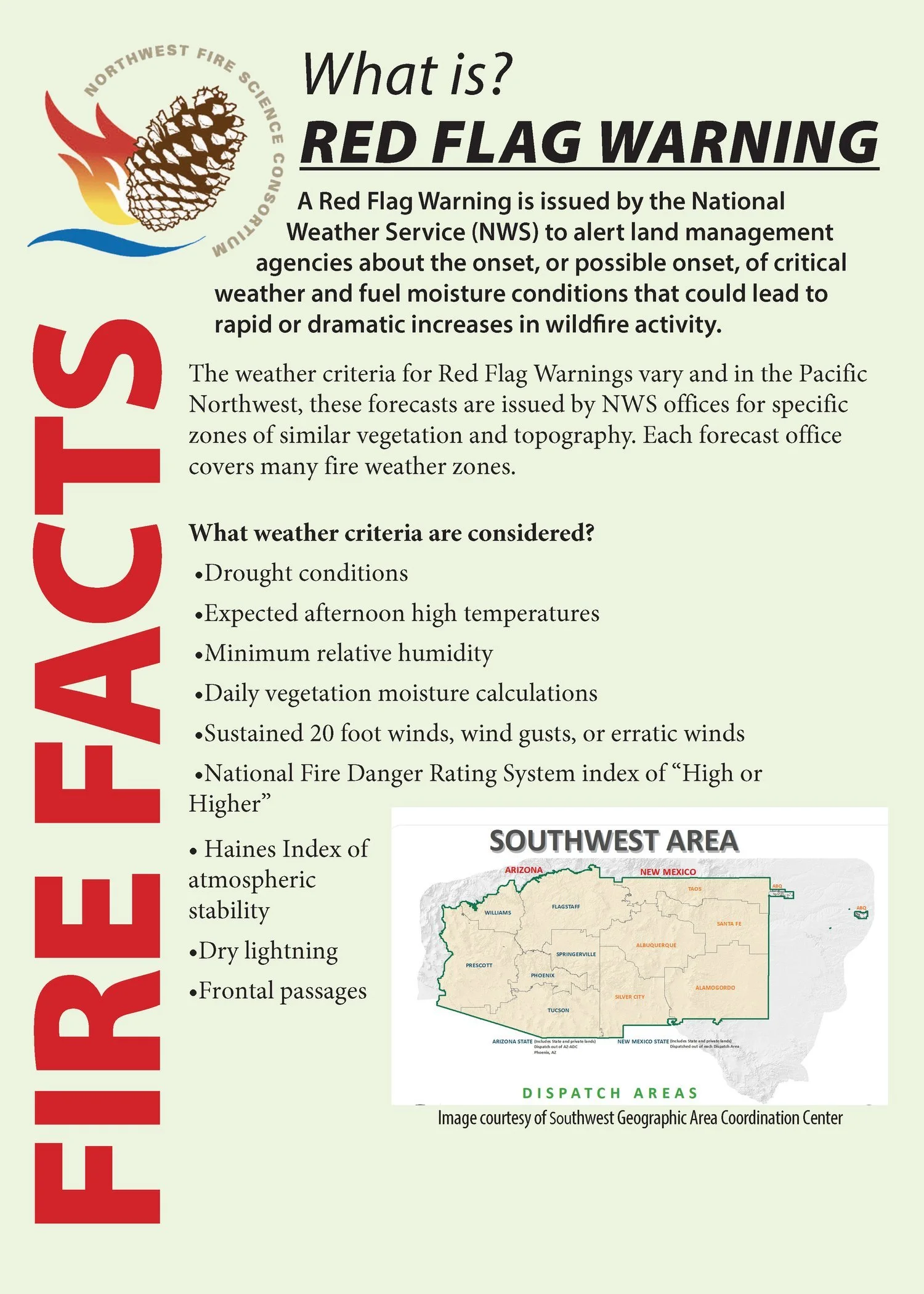
Resource and image adapted from the Northwest Fire Science Consortium.
This combination of 1. low relative humidity (RH), 2. strong surface wind, 3. unstable air (an incoming or outgoing storm system that creates a significant temperature differential between the land surface and lower atmosphere), and 4. drought creates critical fire weather (NWCG, Critical Fire Weather). When you see a Red Flag Warning, it means that critical fire weather is currently or will soon be occurring. The alert, whether online, on the news, or on your weather app, will usually indicate for how long the Red Flag Warning is forecast to last. Fire management personnel take Red Flag Warnings into account and may respond by changing staffing numbers or preemptively moving resources into a certain region to be prepared for a potential ignition. During extended periods of high risk, local authorities may consider policy decisions like banning campfires or closing specific areas (see ‘How to Respond’, below).
In the Southwest, drought becomes an important precursor to critical fire weather by drying out live vegetation as well as logs, sticks, needles, and grass on the ground, therefore increasing fuel availability. Critical fire weather elements, combined to create an unusually dry airmass for the region and season, produce extreme fire behavior when a fire does start. As we transition from El Niño to La Niña regional oscillations and hit the beginning of the summer weather, it is worth noting that light monsoons can produce gusty wind, low RH, and lightning without much precipitation. Learn more about the 2024 fire season drought and precipitation outlook here.
All Red Flag days are not equal and the response to Red Flag Warnings may be different in different areas and on different days depending on Planning Level or local decision makers (Weather.Gov Red Flag Index). Differences in Red Flag days depend on:
The magnitude of specific weather elements,
Antecedent fuel conditions (have things been dry for a long time leading up to the Red Flag day?),
Drought periods - it may not take “as much weather” to produce control problems (if fuels predisposed by being quite dry)
The geographic scope of Red Flag Warnings
There are several contributing factors when it comes to issuing a Red Flag Warning, but primary criteria include relative humidity of 15% or less combined with sustained surface winds, or frequent gusts, of 25 mph or greater. Both conditions must occur simultaneously for at least 3 hours out of a 12-hour period, according to the National Weather Service. Meteorologists also consider how all forecasted weather elements combine to create hazardous conditions (e.g. moderate humidity combined with high temperatures and high winds), even if they don’t fit the humidity and wind criteria individually.
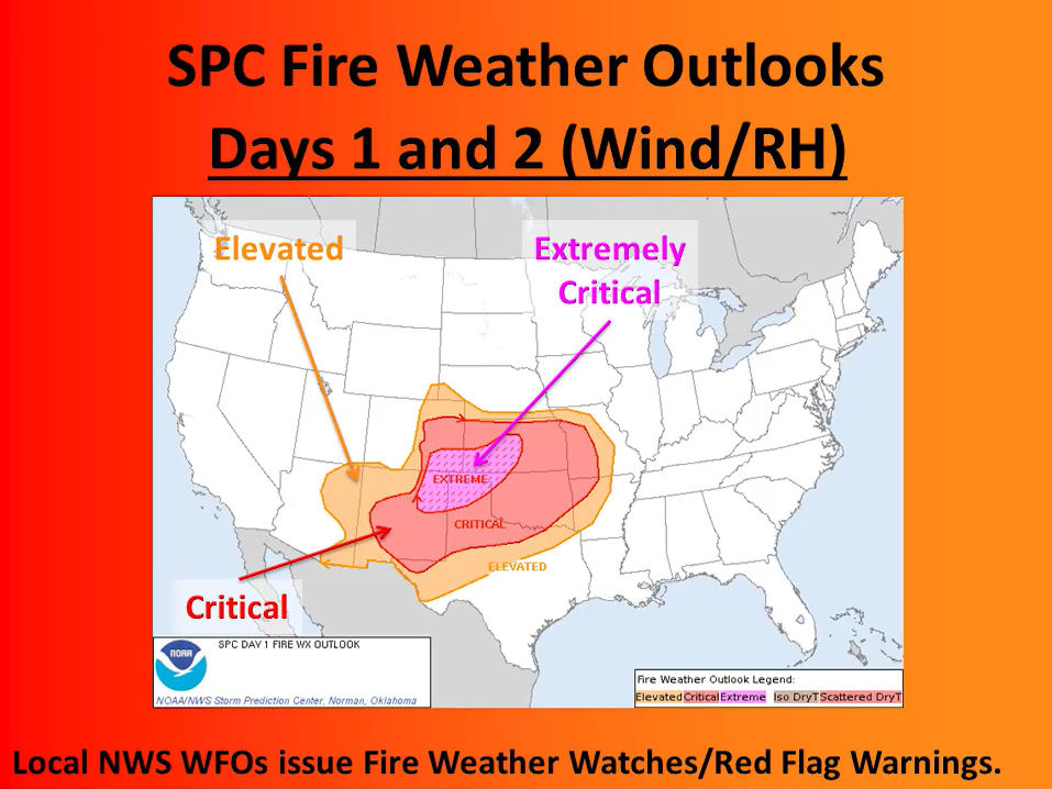
For local Red Flag Warning alerts, meteorologists look at forecasted temperature, incoming and outgoing storm systems (high- and low-pressure systems) with their potential for wind, the likelihood of wet or dry lightning, the dryness of fuels based on recent precipitation and season, and how local terrain will interact with wind and potential ignitions (YouTube: Forecasting Fire Weather in the US). Local forecasts also inform the national NWS Fire Weather Outlook forecast by contributing to fire weather composite maps and short-wave ensemble forecasts.
Fire weather forecasts are specific to a certain geographic area based on storm systems, temperature, terrain, and winds. Accordingly, Red Flag Warnings are site-specific, which means that one part of the state (e.g. the eastern plains near Las Vegas) may be under a Red Flag Warning while another part (e.g. Santa Fe on the other side of the mountains) is not.
While Fire Weather Watches may be issued with meteorologists forecasting up to 8 days in advance, Red Flag Warnings are only issued when the critical fire weather conditions meeting the criteria for these Warnings are expected to begin in the next 12-24 hours.
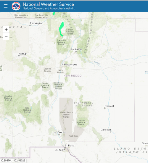
Click to visit the Red Flag map from the National Weather Service
The National Weather Service provides information on the scope of Red Flag Warnings. This information may be found in the alert itself (a text box showing what cities or areas are covered by the alert), or can be found by visiting the NWS weather hazards map.
How to respond to a Red Flag Warning
Spread the word!
Educate your friends, family, and neighbors on what Red Flag Warnings are, what they mean, and how to respond when they see the warning pop up.
Research the scope of the Warning and restrictions for your area
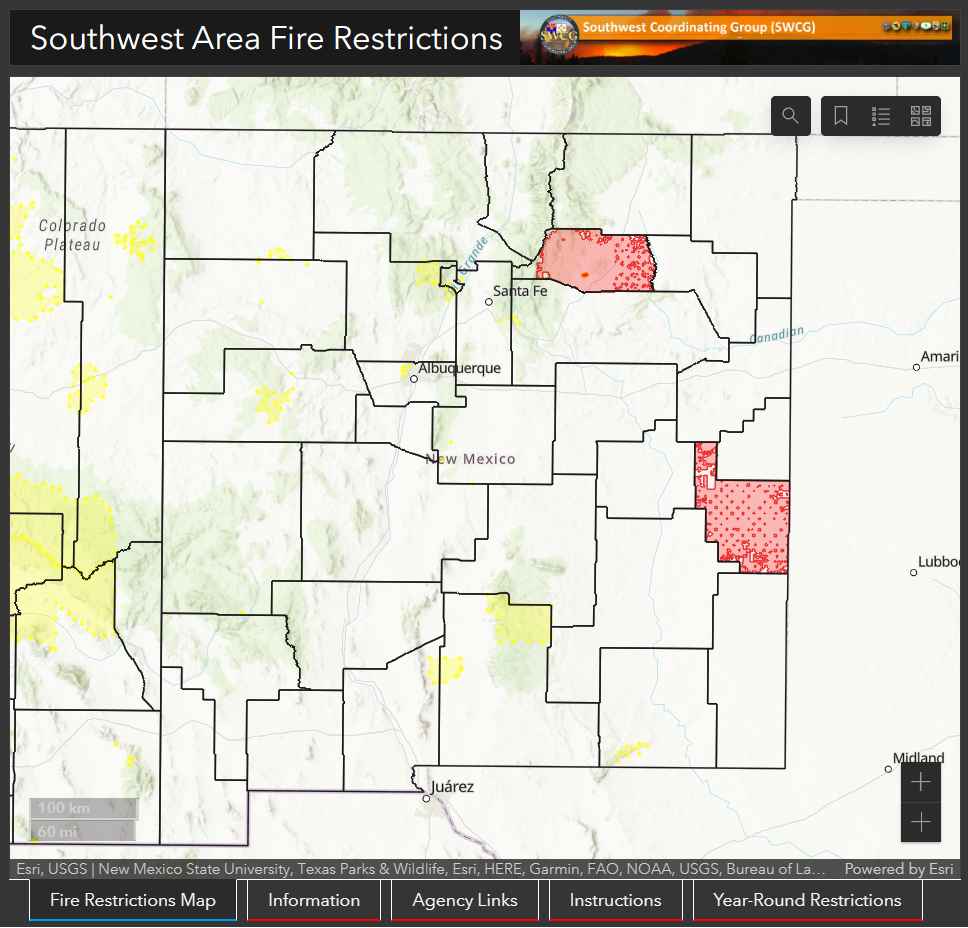
Begin your fire restrictions research by clicking on the image to visit the Southwest Area Fire Restriction map, hosted by the National Interagency Fire Center and the SW Coordinating Group.
Visit the NWS interactive weather hazard map to determine the area covered by a particular Red Flag Warning. Once you know if your current (or planned) location is under a fire weather watch or Red Flag Warning, visit the local city or county webpage to find out if that area is also under current fire restrictions or burn bans. Both local municipalities and State and National Parks and National Forests may enter into fire restrictions for long periods of time. These restrictions indicate a prolonged (seasonal) period of dangerous fire weather. During the warm months, it is always a good idea to visit the webpage of your destination park or forest prior to leaving so that you are aware of any restrictions in place.
Adjust your behavior accordingly
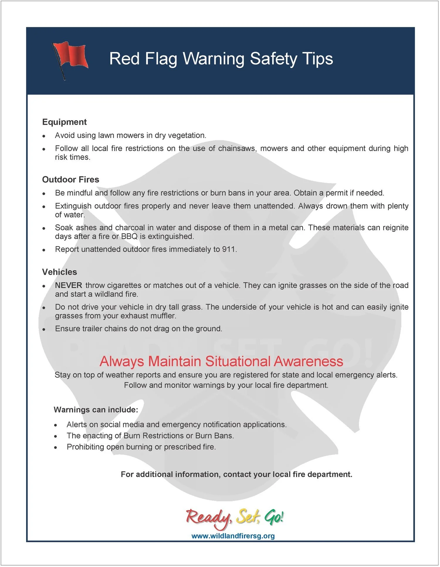
DO NOT burn debris piles.
If you are allowed to burn in burn barrels in your area, cover them with a weighted metal cover.
DO NOT throw cigarettes or matches on the ground or out of a moving vehicle.
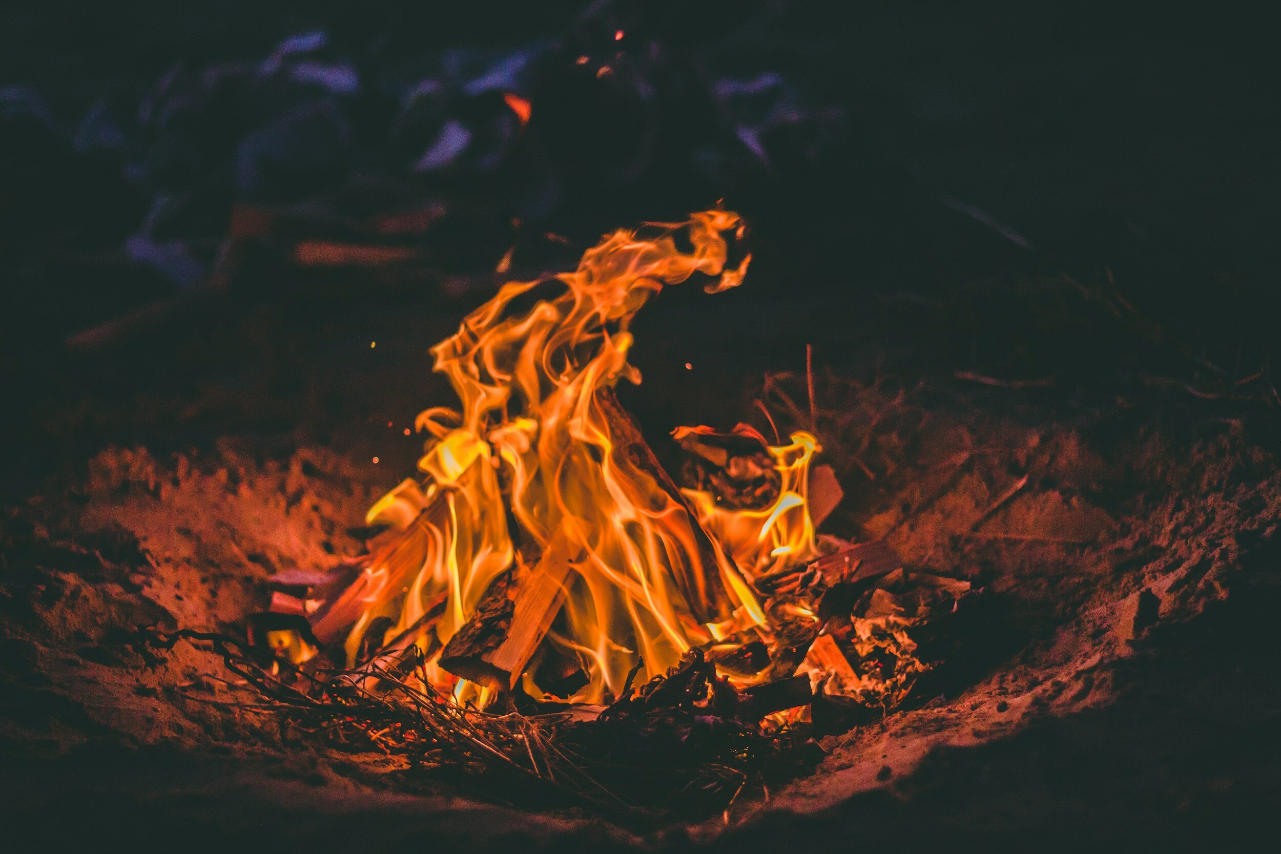
If outdoor fires are allowed, make sure to extinguish them properly. Drown fires and charcoal with plenty of water and stir with a shovel to make sure everything is cold to the touch with bare skin.
Never leave a fire or barbeque unattended. Sparks or embers can blow into leaves or grass, ignite a fire, and quickly spread.
Avoid parking a recently driven vehicle on dry grass or other areas with vegetative cover.
Ensure that no chains or hanging metal are dragging from your vehicle or tow-behind trailer which could cause a spark.
Prepare your home
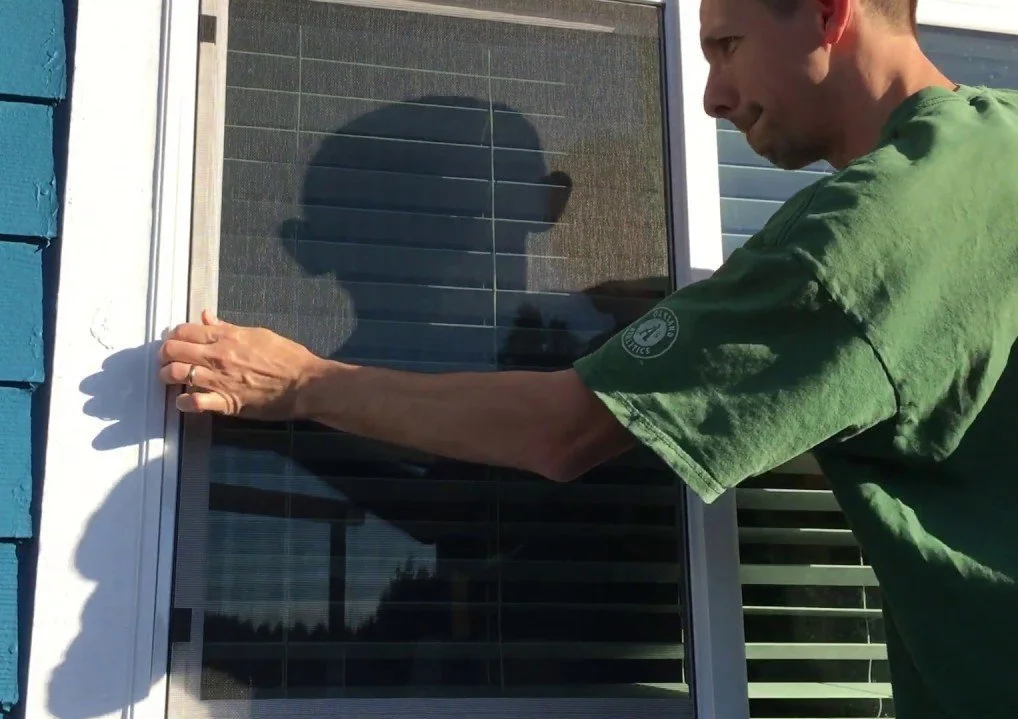
Before leaving home for the day, make sure that all house and car windows are closed and bring flammable materials like outdoor cushions inside the home or garage.
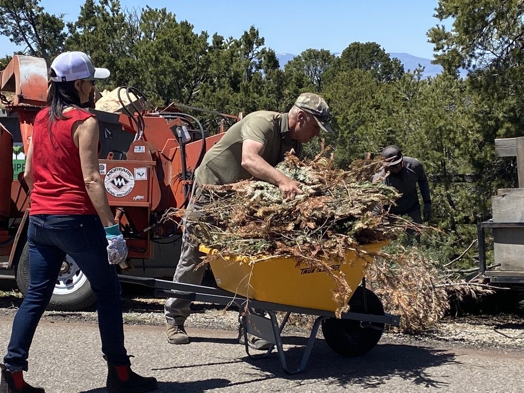
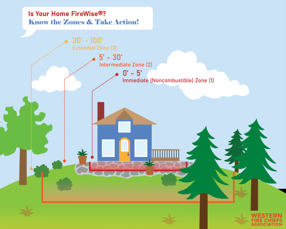
Create defensible space (including removing dead vegetation from around the house and clearing debris from gutters, around doors, and under porches).
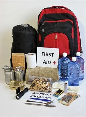
Photo credit: Sonoma County Emergency Management Department.
Plan for possible ignitions or evacuations
Keep your phone charged
Make sure you know where your loved ones — especially people with disabilities or mobility issues — are during the day
Make a plan for what to do with any pets or livestock in case of an evacuation.
Smoke Management
Air Quality
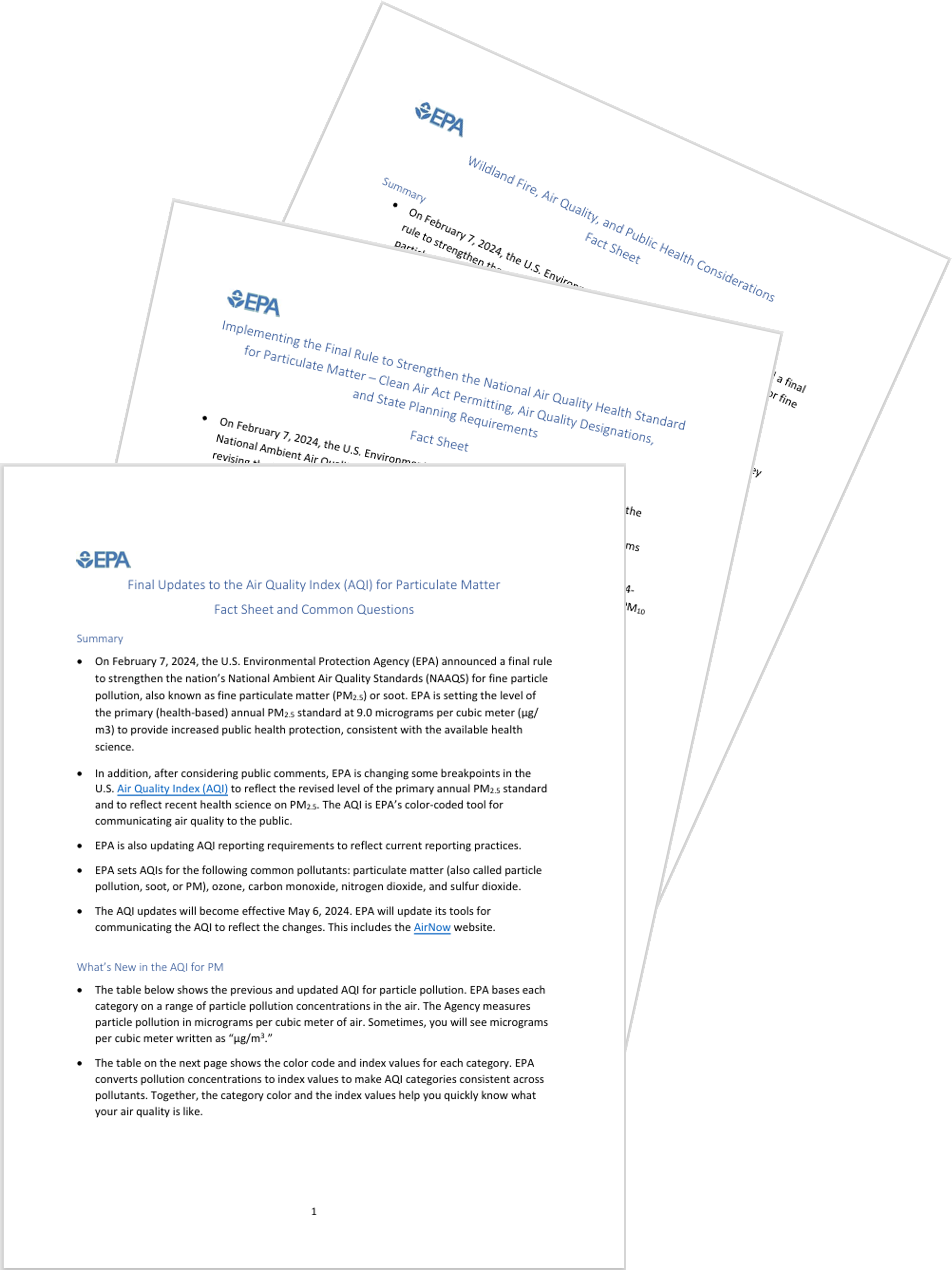
In February 2024, the U.S. EPA strengthened the National Ambient Air Quality Standards (NAAQS) for fine particle pollution (PM2.5). They have released several fact sheets about this rule change, including “Updates to the Air Quality Index…”, “Strengthening the National Air Quality Health Standard…”, “Wildland Fire, Air Quality, and Public Health Considerations”, and more.
The EPA, USDA Forest Service and health and land management agencies in Oregon and Washington recognized the important role of prescribed fire for public health and ecosystem resilience in their “Joint Statement of Intent to Cooperate on Prescribed Fire and Smoke Management”.
For ideas on how to help community members mitigate smoke exposure, see the Fire Networks blog post “Cleaner Air, One Filter at a Time: Stories from FAC Net’s Community Clean Air Project.”
HEPA Filter Loan Programs
Portable HEPA air filters provide clean and healthy breathable air to individuals and households by filtering out very small and harmful particles, such as those carried in wildfire smoke, allergens, and industrial smog. An episode of All Things Considered details the importance of making sure the air inside is clean and safe to breathe.
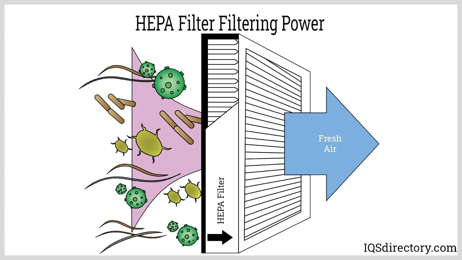
FACNM offers a HEPA filter loan program, with several participating areas across north and central New Mexico. These are prioritized for loan to smoke-sensitive individuals during periods of smoke impacts and are shared in coordination with network partners. An article from NPR highlighted the importance of a HEPA filter loan program in building public trust and how far individual actions can go, saying “today [Angie Krall, El Rito District Ranger, will] stop by a community library and lend an air filter to someone with asthma.”
For those who are unable to acquire a HEPA home air filtration system, ABC News and the NYT Wirecutter have guidelines for making your own DIY filters and FACNM offers guidelines on how to filter your air.
Smoke 101: Science Synthesis

In November 2023, the USDA Rocky Mountain Research Station hosted a land-management focused panel discussion with smoke experts to discuss the State of the Science about smoke. Topics included the differences in smoke from wildfires and prescribed fires, capability to accurately predict smoke, ecological impacts of smoke, climate modeling for future smoke load prediction, smoke exposure and health outcomes, and more. RMRS has since compiled the lessons learned from that panel discussion into a Science You Can Use: Smoke 101 synthesis!
State of the Air: 2024 Report from the American Lung Association
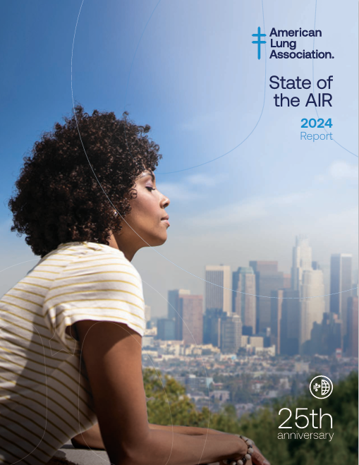
The Clean Air Act requires the U .S . Environmental Protection Agency (EPA) to set health-based limits, called National Ambient Air Quality Standards (NAAQS), for six dangerous outdoor air pollutants: particulate matter, ozone, nitrogen oxides, sulfur dioxide, carbon monoxide and lead . “State of the Air” looks at two of the most widespread and dangerous pollutants from this group, fine particulate matter and ozone.
This year’s report finds that “wildfires in the western US and Canada remain the major contributing factor to increasing number of days and places with unhealthy levels of particle pollution… Wildfires are also continuing to increase the severity of pollution, resulting in the highest ever number of days designated as [‘very unhealthy’ or ‘hazardous’ air quality].”
Additional Resources
Upcoming Webinar
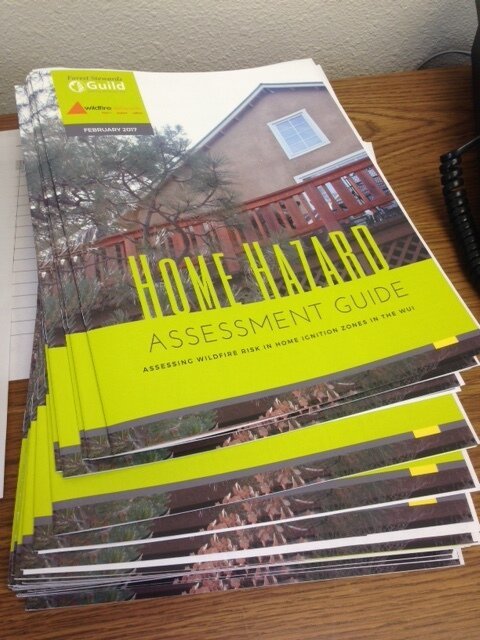
Wednesday, May 22, 1pm: Back to Basics with Home Hazard Assessments

Home Hazard Assessments (HHAs) are an important fire risk and readiness tool. Join knowledgeable fire and forestry professionals from New Mexico and Colorado as they discuss digital and printed tools to complete HHAs, local partners who can guide the process or travel to complete HHAs on-site alongside property owners and residents, how different Assessment programs are structured, why HHAs are a key fire readiness tool, how county ordinances and insurance providers can influence the need for HHAs, and what opportunities may open up as a result of completing them.
The Southwest Fire Science Consortium has just released a home risk analysis fact sheet containing steps homeowners can take to reduce fire risk. Step #1 is - you may have guessed it - conducting an HHA! View the fact sheet here.
2024 Fire Season Weather Outlook
In this 30-minute overview, meteorologist Kerry Jones with the USDA Forest Service provides a summer 2024 fire season forecast. Watch the recording to learn about what the spring transition from El Niño to La Niña may mean for summer heat, fire likelihood and severity, monsoonal patterns, beneficial fire, and reforestation efforts.
New York Times: Climate Forward Newsletter
4 Takeaways from an Investigation into Homeowners Insurance
Journalists from the New York Times conducted a deep dive into the home insurance industry to investigate how it is being impacted by climate change and what the ramifications might be. Their key takeaways were:

Climate change is upending the insurance market
"Previously small-scale threats such as wildfires, hail, and windstorms have become more intense and frequent. That means the threat to insurers has grown as well… the insurance industry lost money on homeowners coverage in 18 states last year”.Insurers are pulling back coverage in surprising places
States across the Midwest, Southeast, and West have “seen insurance companies stop writing homeowners insurance, or [make] it harder to qualify for coverage… They’re also raising rates by 50 percent or more in some places.” The challenge facing the homeowners insurance market “is probably unparalleled in recent decades”.The consequences of that pullback could affect the broader economy
“A breakdown in homeowners insurance doesn’t just affect people who struggle to get coverage. Without insurance, banks won’t issue a mortgage; without a mortgage, most people can’t buy a home. Fewer prospective buyers can push home values down, which means less property tax revenue and less money for local government services.”States are intervening in different ways
“State officials agree the trends aren’t good. They don’t agree on how to respond.” Some states are trying to make it easier for insurers to raise premiums; others are trying to reduce insurer losses by encouraging homeowners to make their properties more resilient; yet others are setting up high-risk state-supported coverage pools for homeowners who can’t get coverage on the private market.