By: Gabe Kohler, Program Coordinator, The Forest Stewards Guild
Building our FAC Toolkit
To create fire adapted communities we will need novel and creative ways of engaging with new audiences. We need methods for sharing ideas that can help reframe who has a voice and a responsibility in this work. Learning exchanges are a great tool in this effort.
At a learning exchange the goal is sharing information between two or more parties in the spirit of learning from each other’s successes and failures. Learning exchanges flip the script of the typical presentation format, where information is conveyed from an “expert” to an “audience,” to a format that is inclusive and empowering to participants that may not involve themselves in these types of conversations regularly.
FACNM Learning Exchanges Fall 2019
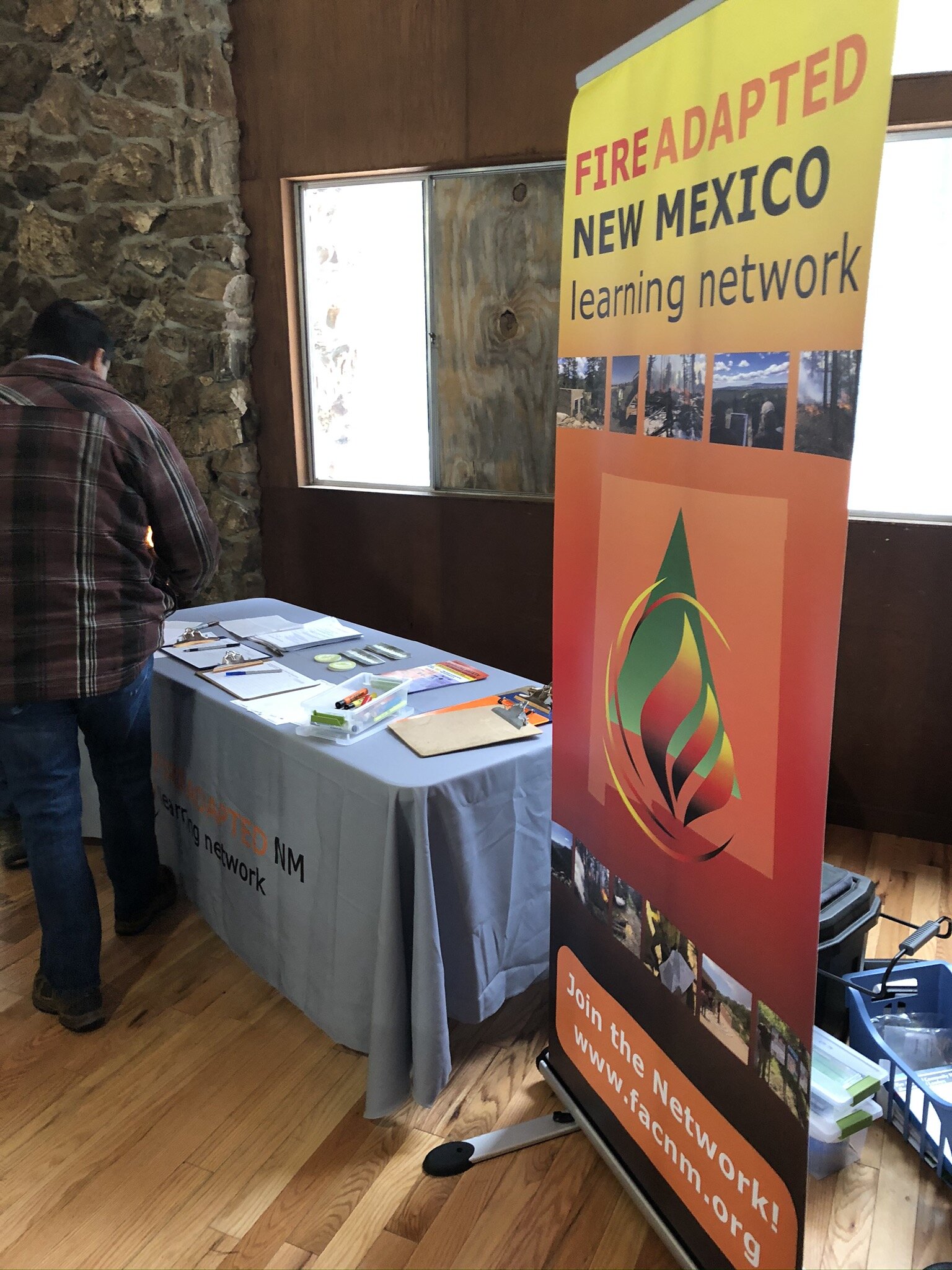
The FACNM table cloth and banner were contributed through a partnership with the BLM.
I organized two FACNM learning exchanges in northern New Mexico this fall through a partnership between The Forest Stewards Guild, the BLM, New Mexico State Forestry, and New Mexico Counties. One exchange took place in the Western Jemez area and another in the Gallup/ Grants area in Thoreau, NM. I am far from an expert, but I’d like to share my experience in the hope that others can learn from our successes and challenges and continue to use this type of event for building Fire Adapted Communities.
Note: I hosted learning exchanges as an outsider to the communities where the exchanges took place and some of my challenges reflect that. Many of you are more likely to host a learning exchange locally, despite this difference, I think many of these lessons will be relevant to you.
Stay tuned for event summaries of the Western Jemez and Gallup-Grants learning exchanges in an upcoming blog post!
Planning a Learning Exchange – Lessons Learned
Agenda, Participant List, and Outreach
Creating the agendas and participant lists for the learning exchange was a real challenge. You need enough specificity in topic areas to start discussion while still leaving space for participants to dig into any locally-specific topics that emerge in conversation. So topics you focus on should influence who you invite and who you invite will influence the topics you focus on. This can make it difficult to know where to start.
Reach out to close participants early on and ask them for help.
Don’t try to build your agenda without topic suggestions from your participants.
By spending time up-front refining your agenda to local interests you can increase the likelihood that people will want to commit to attending. This does not require a lot of work, but it does require lead time. If possible, give yourself a couple months to plan the agenda and conduct outreach.
To get started:
Reach out to close partners that live or work in your area of focus and ask them what challenges they face in their wildfire adaptation work and what topic areas they recommend. Do this with a couple people, if possible.
Using the broad topics that were recommended, create a save-the-date.
Send out the save-the-date, and maybe make a phone call, to a core group of participants about a month-and-a-half before the event and see what type of response you get.
As participants commit to attending, reach out to them and ask them about the challenges they face with wildfire adaptation and what sessions they would recommend. This should begin to narrow your topic areas in a way that matches the local or regional conversation.
If someone on your participant list is showing interest in a particular topic, work with them to form it into a brief ~30 minute session for the exchange and draft some questions to focus the group’s conversation around this topic area.
Starting and Tracking Conversation
Ask participants to go out of their comfort zone and talk with new people.
Don’t let participants sit or group with people they already know.

Participants shared the challenges they face and what they hoped to get out of the exchange toward fire adaptation.
At both learning exchanges we used an exercise from Liberating Structures called impromptu networking. I learned this technique from FAC rockstar Ali Lerch who joined us for the Western Jemez exchange. Ali channels her education in rural studies through her role as a wildfire mitigation program manager to create an open and respectful platform for community engagement.
Impromptu Networking asks participants to pair up with a few different people and share their 1) personal challenges in wildfire preparedness, and 2) what they hope to take away from the learning exchange. This exercise got participants talking and helped identify challenges for discussion throughout the day. At both exchanges this exercise let people show their excitement and knowledge for our FAC work and we had to pull them away from these conversations to continue with the day.
At the end of the exercise we asked participants to stay seated with the last person they talked with to make an effort to sit next to people they didn’t know. Then participants were asked to report back about what they heard from other participants. In the Gallup-Grants exchange we recorded these challenges and desired take-aways at the beginning of the exchange and used these to facilitate discussion throughout the day. I highly recommend an exercise like impromptu networking to get conversation started and to focus participant interests throughout the exchange.
Allow it to get quiet between comments to allow room for other voices.
Don’t over-facilitate or force information.
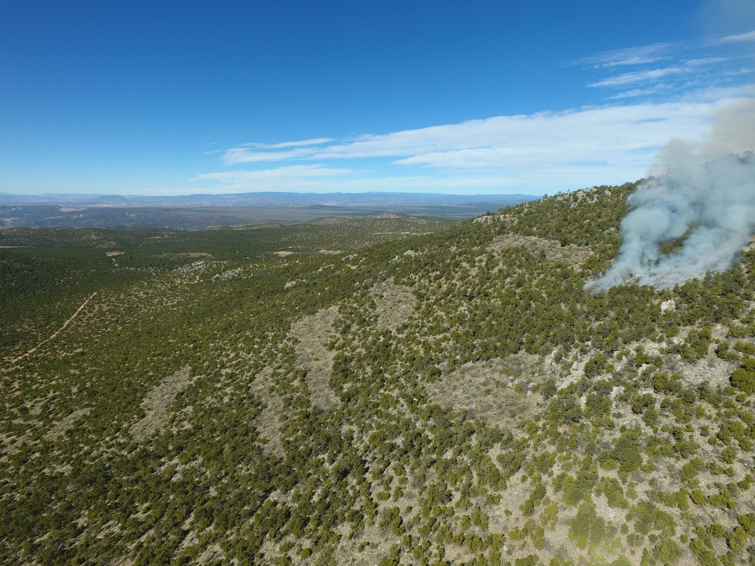
Breaking up the Day with Field Visits and Short Sessions

Eddie Baca, Fire Management Officer with Mt. Taylor Ranger District, showing the group a strategic fuel break near the community of Bluewater. This work was facilitated by McKinley County’s 2013 Community Wildfire Protection Plan (CWPP) listing this interface as high risk.
For the exchanges that I organized, I chose to have morning sessions devoted to the social aspects of this work, such as community building, networking, and resource coordination. After we had started conversations through these morning sessions, I planned afternoon sessions outside where we could walk around and use field visits to prompt discussions around a particular topic. For example, at the Western Jemez learning exchange we had a field visit to a safety zone on the Girl Scouts camp and talked about wildfire response and evacuation in our communities. Moving from inside to outside woke people up after lunch. Another way to keep participants engaged is to allow some transition time between sessions and field sites to create more space for conversation.
The Location
Pick a location that is familiar to participants or run by members of the community
Don’t ask participants to go to a faraway event space that does not support their community

The Western Jemez learning exchange in the lodge at Girl Scouts Camp Rancho del Chaparral. Cecilia Chavez, Director of Program and Innovation with Girl Scouts New Mexico was an active participant and host.
For both the Western Jemez exchange and the Gallup-Grants exchange, the locations were important to how the events unfolded. The Rancho del Chaparral Girl Scouts Camp was particularly apt because many of the locals had a direct connection to it. Many of them had worked, attended camp, or had hosted a previous event there. This made people feel like they were more at home and less at a conference, allowing FACNM to meet them in their community instead of them coming to us. The same was true at Cottonwood Gulch for the Gallup-Grants exchange. The Gulch has worked in partnership with many of the local fire resources for over a decade and had hosted and fed a lot of local fire resources during a collaborative burn on their property.
Seeking a community hub to host you event will help set the stage for addressing local issues. These organizations may take different forms, faith-based organizations, local VFD’s, elementary schools, and community libraries would all make a good location for an exchange.
Resources
If you want more information about learning exchanges, there are some great resources available through the national Fire Adapted Communities Learning Network (Shoutout to the National Network!). Also, be sure to check out Liberating Structures for facilitation techniques that shake up the status quo.
Acknowledgments
These recent learning exchanges were made possible by the generous support of the BLM New Mexico, New Mexico Counties, the Fire Adapted Communities Learning Network, and the Taos Ski Valley Foundation.