Happy Wednesday, FACNM Community!
We hope you all are having a lovely holiday season. As our corner of the world tilts into winter, we are using this chilly contemplative time to get back to the basics - of wildfire preparedness. Join us in using this winter to work on home hardening and defensible space, plan a spring community preparedness event, and review best practices for the wildfire season to come.
This Wildfire Wednesday features:
Other resources, including an intro to the FACNM YouTube page!
Happy New Year,
Rachel
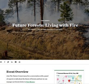
Learn more about Living with Fire!
Living with Wildfire
A guide for educators and homeowners

Living with Fire (LWF), a Guide for New Mexico Homeowners, provides recommendations and resources to homeowners, educators, community groups, and firefighting professionals to prepare for wildfire and reduce wildfire threats to homes and communities. LWF is a collaborative effort among federal, state, local firefighting agencies, and resource management agencies in New Mexico and across the nation. The LWF program is managed by the University of Nevada Reno, Extension, an EEO/AA institution.
In this Living With Fire Guide, you will find proven steps that communities can take to help protect family and property during wildfire. Responsibility and preparation is where it starts. Click on the image to learn more about community protection, access to your residence, defensible space, the built environment, and evacuation.
Learn more about Ready, Set, Go!
Ready, Set, Go!
Resources for evacuation readiness and safety

New Mexico’s Ready, Set, Go! Guide is designed to assist with planning and preparation for a wildfire emergency. The program helps residents be Ready with preparedness understanding, be Set with situational awareness when fire threatens, and to Go, acting early when a wildfire starts.
This is a great general resource to help you, your friends, family, and neighbors start to make progress toward wildfire preparedness. When doing work around your house or planning for wildfire, talk to those in your community about what you are doing and why.
To get started on the Ready, Set, Go! Guidebook, click here.
Record keeping for fire safety

Keeping important documents with you when evacuating, or storing them digitally in cloud based storage can help support you in the wildfire recovery process.
One often-overlooked aspect of fire preparedness is safekeeping important records, paperwork, photos, and other documents. Visit FACNM’s blog on preparing for spring ignitions to learn more about 10 key items that you should be sure to keep safe, if applicable, and how to store them ahead of time.
Resolve to take these steps for wildfire readiness

The beginning of a new year, when the risk of wildfire is relatively low, is a good time to start thinking about what you can do now to be ready for fire season later.
Our recommendations for your New Year’s resolutions:
Develop an emergency plan: choose a safe place to meet, learn evacuation routes, and establish an out-of-town contact.
Take a current photo of you and your pet(s) together in case you get separated during a disaster.
Get to know your neighbors and invite them to be a part of your emergency plan.
Snap photos of important documents and save them in a secure place or online.
Set up group text lists so you can communicate with friends and family during emergencies.
Take a class in CPR and first aid.
Keep and update emergency supplies, including cash.
Have back-up power sources available to charge devices in case of a power outage.
Check your insurance for coverage on disasters like wildfire and floods. Snap pictures of your property for insurance purposes.
Sign up for emergency alerts and warnings. Download the FEMA app or check with your city or county government to see if they have an alert and notification system in place.
Learn more about Home Improvements for Wildfire!
Home Improvements
Hardening for homeowners and renters
Even small actions can have a big impact on fire outcomes for your home, family and community. Whether you have 10 minutes or 10 hours to dedicate to wildfire preparedness, use that time increase your safety, strengthen community resilience and improve fire outcomes. Not sure where to start? Review the list of quick fire preparedness project ideas from the national Fire Adapted Communities learning network.
Home Hardening

Home hardening brochure courtesy of Santa Clara County FireSafe Council’s home hardening webpage
Fire hardened does not mean fireproof; it means your home is prepared for wildfire and ember storms. Home hardening addresses the most vulnerable components of your house with building materials and installation techniques that increase resistance to heat, flames, and embers that accompany most wildfires.

Priorities text courtesy of Santa Clara County FireSafe Council
Yard Preparation and Considerations
An extension of defensible space, the tips and tasks are presented below can be done to prepare your yard and property for wildfire season now and throughout the year.
Property areas and considerations include: borders and hedges, dry vegetative debris, slash chipping, pests and disease, attics and crawl space vents, vegetation spacing, mulch, considerations for birds, holiday tree safety, and more.

Image courtesy of the ‘Tips and Tricks for the Yard’ webpage from SCC FireSafe Council. Visit the website for additional resources related to each yard area.
Inside and Outside the Home
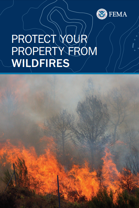
Property protection booklet cover image courtesy of FEMA.
“While you can’t prevent all wildfires from happening, there are some ways to secure your property to minimize damage and keep your home and your future safe.”
Click the image or download the PDF from FEMA to learn simple tricks for how to fortify your space this winter, inside and outside of the home.
Additional resources
Throughout the cold season, set aside some time to click through and visit these resources. An excerpt of topics includes:
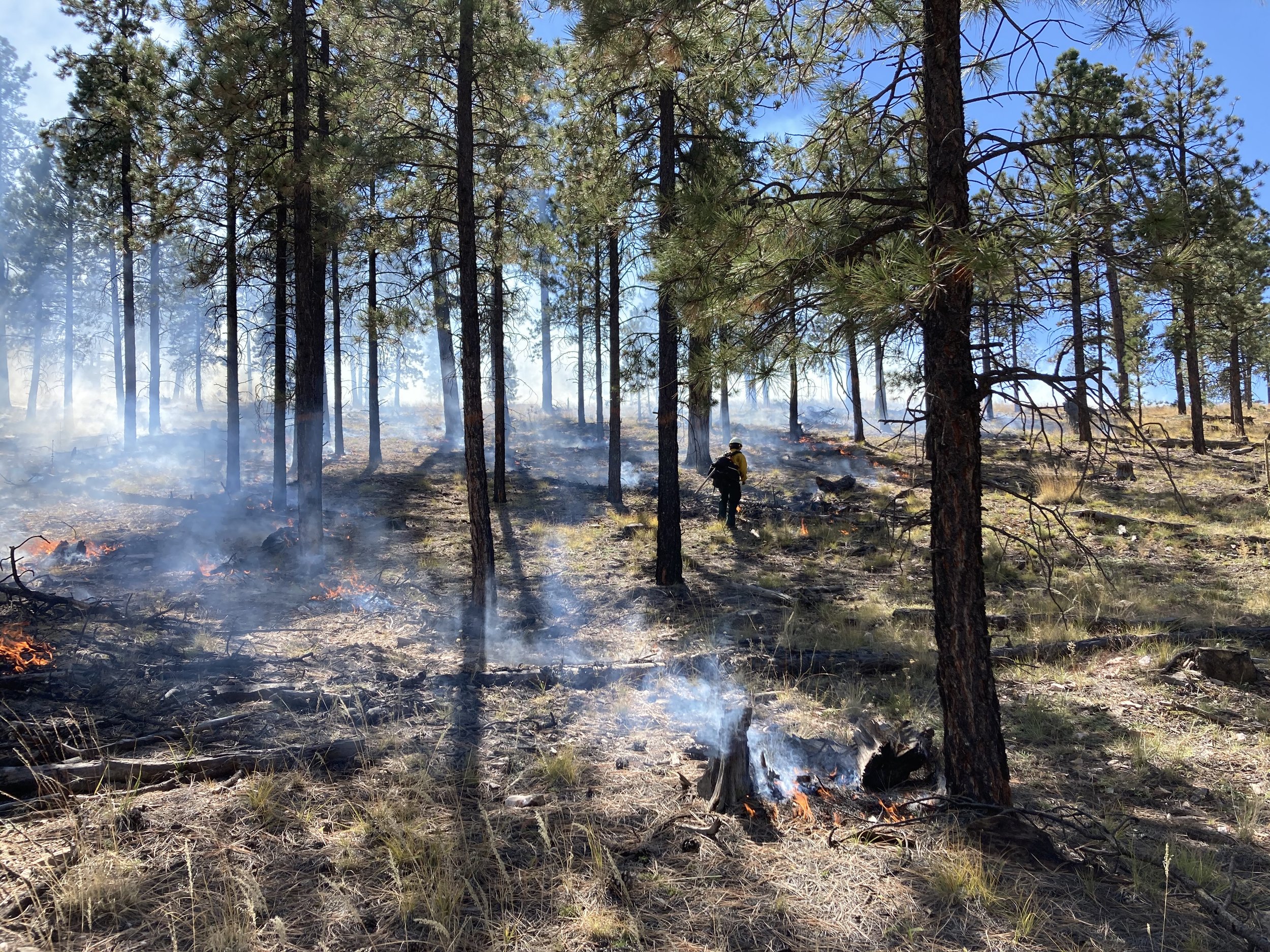
Defensible Space

Photo courtesy of A-Plus Tree Care & Sustainability
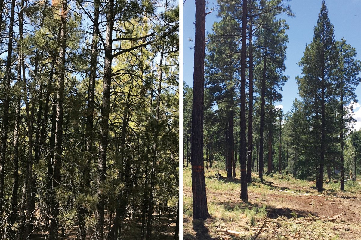
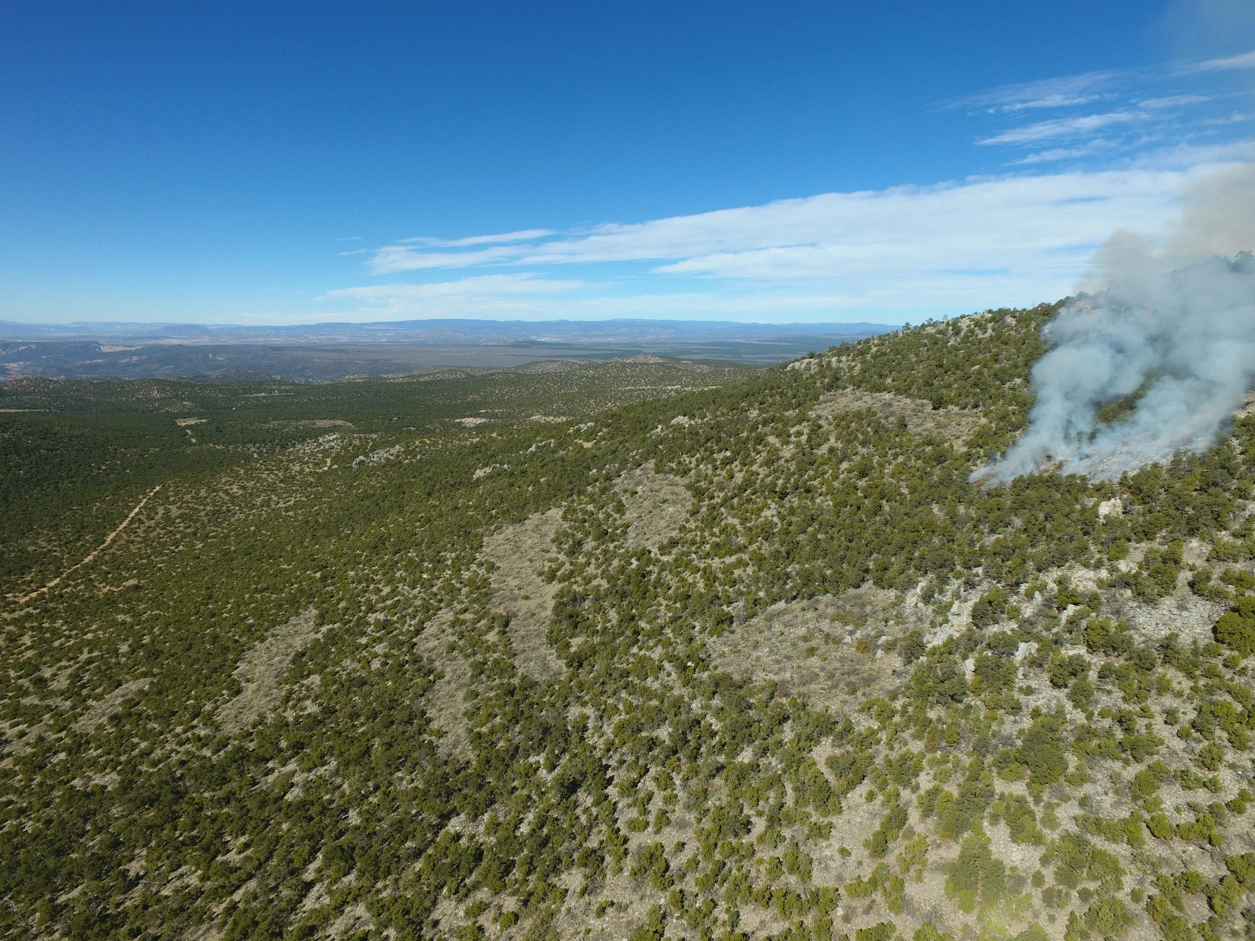
Winter is often the best time to take steps to defend against fire, such as thinning out dense patches of trees, removing flammable brush and weeds, and pruning the limbs of mature trees to reduce contiguous fuels. Thinning and pruning during the cold winter months can also help reduce pest and disease infection in your trees and shrubs.
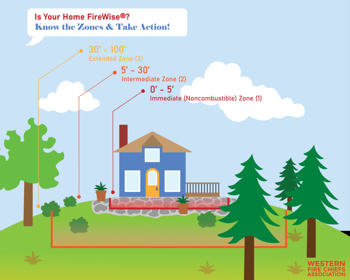
Image courtesy of Western Fire Chiefs Association
Maintenance tasks such as clearing flammable debris from gutters and around the home, making sure there are no flammable materials like firewood or patio furniture near your structures, and keeping grass and weeds mowed to less than 4 inches are all things you can do in these winter months and as part of spring cleaning to keep your home protected.

Graphic from WFCA’s webpage on How to Create a Firewise® Defensible Space for Your Home
Like other parts of your home, defensible space requires upkeep and conscious decision-making about your space, such as the choice to plant native grasses.

Checklist adapted from NMSU and Firewise® on defensible space actions that can be taken annually
New Mexico State University ACES college, Firewise®, and Western Fire Chiefs Association (WFCA) are just a few of the entities which offer information and checklists to guide your creation of defensible zones and upkeep of defensible space.
“Defensible space is the buffer you create between a building… and the grass, trees, shrubs, or any wildland area that surrounds it. This space is needed to slow or stop the spread of wildfire and it helps protect your home from catching fire—either from embers, direct flame contact or radiant heat. Proper defensible space also provides firefighters a safe area to work in, to defend your home.”
- (CAL FIRE, Ready for Wildfire)
Learn more about Planning Preparedness Events!
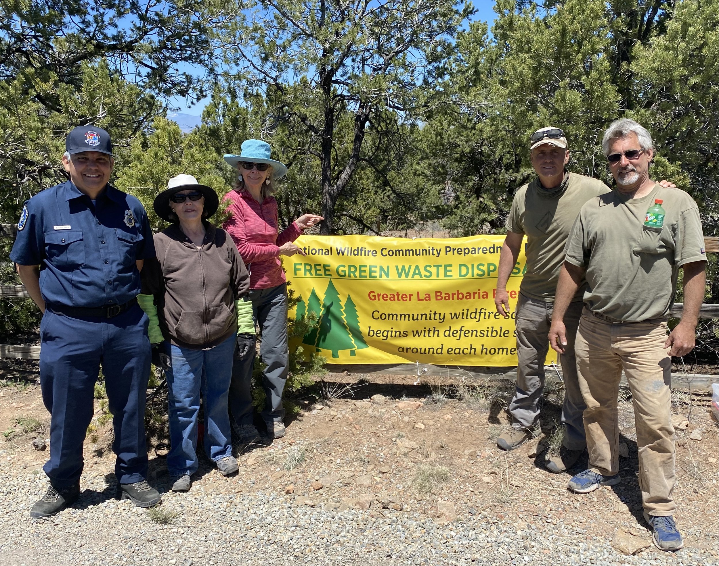
Planning a Preparedness Event
How to bring your community together to learn and share
Plan your Project
The idea behind Wildfire Community Preparedness is to bring people together to take action to reduce wildfire hazards in their neighborhood or area. 2023’s Preparedness Day toolkit provided a list of project ideas, safety tips, and more to help guide your community event.
Ideas for Action

Click here to download the action guide!
The National Community Wildfire Preparedness “menu” describes different project ideas that FAC members have organized in tandem with the National Fire Protection Association’s National Community Wildfire Preparedness Day. In addition to project overviews, the menu provides information about costs, equipment, planning needs, etc.
When starting or revamping a chipping program, there are several things to consider, including assessing need, funding, staffing, outreach and marketing, chipper selection, access and functional needs, chip dispersal and use, and program improvement year over year. FAC Net offers a toolkit for those wondering where to start.
Remember that there are many people across the country who are working toward the same goal as you - to bring their communities together for wildfire preparedness. Back in 2018, one FAC Net member wrote about their experience and applicable lessons learned with Seeking and Finding Community Capacity for Wildfire Resilience.
Learn more about Other Resources!
Other Resources
Educational recordings

FACNM recently launched a YouTube webpage which will house recordings of past webinars and other important informational videos related to the New Mexico Fire Adapted Communities Learning Network. Subscribe and share to keep apprised of new recordings when they are released!
Readiness Apps

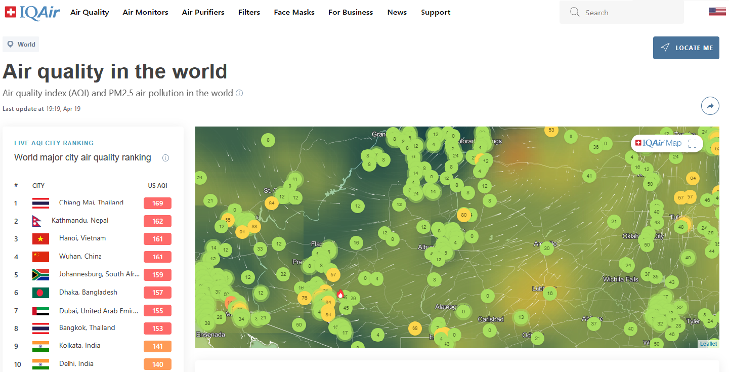
The Fire Networks blog post “Five Useful Apps for Wildfire Readiness” highlights apps and websites that give access to air quality information, real-time wildfire alerts, a wildfire tracker, and a natural hazard risk assessment tool.